
16:44, February 2, 2022
During the autumn semester of 2021, undergraduates of the Department of Information Modeling of Buildings and Structures studied the basics of geoinformation technologies using the widely used QGIS program as an example
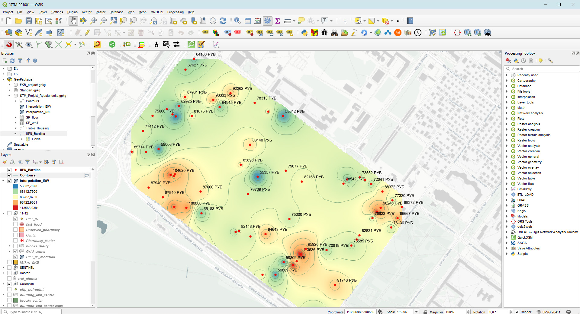
The course resulted in group projects, during which the students demonstrated the mastered technologies for working with spatial data and independently mastered the additional features of the program. The most interesting projects were "Safe Yekaterinburg" and "Concept for the development of a network of bike paths in Yekaterinburg".
In the first case, the task was set to systematize data describing the location of urban infrastructure elements responsible for pedestrian safety. In public access, such information, as a rule, is not available, which hinders the study of criminogenic factors in the urban environment. The result of the work was an interactive web map ( интерактивная веб-карта) of city blocks surrounding the UrFU building complex on Mira Street. In the course of their work, with the help of the OpenStreetMap resource and technologies, track recordings were arranged in the form of a database and visualized information about the elements of street lighting, the location of surveillance cameras and fences separating the pedestrian space of the streets from the roadway. The department plans to develop the created resource by the undergraduates of the following streams.
The purpose of the second work was to form an idea of a possible path for the development of an integral network of bike paths in Yekaterinburg. As we know, there is no such system in the city today. Within the framework of the project, undergraduates collected data on existing fragments of bike paths, took into account the sections planned for construction in accordance with the planning projects of the territories, and took into account the proposal for the development of the network from Velo-City (Вело-Города ). The scheme developed by the authors suggests taking the Akademichesky district as the center of the network, where a dense network of paths has already been formed, and is designed for six years. To visualize the concept, QGIS' ability to work with chronological data types was used, thanks to which a short video was created:
The undergraduates of the STM-201001 group especially distinguished themselves in their work: Alina Akulenko, Emma Grebneva, Daniil Kalachev, Nikita Korytin, Anna Maksimova, Mohamed Mahmud Nabil Abdelkhadi, Mikhail Rybalchenko, Ekaterina Pecherkina, Irina Shabanova.
© Federal State Autonomous Educational Institution of Higher Education «Ural Federal University named after the first President of Russia B.N.Yeltsin»
Remarks?
select the text and press:
Ctrl + Enter
Portal design: Artsofte
Admission
Phone: +7(343)375-44-70
Email: sti@urfu.ru
Postal address
Ural Federal University
620002, 17 Mira street, Ekaterinburg,
Russia